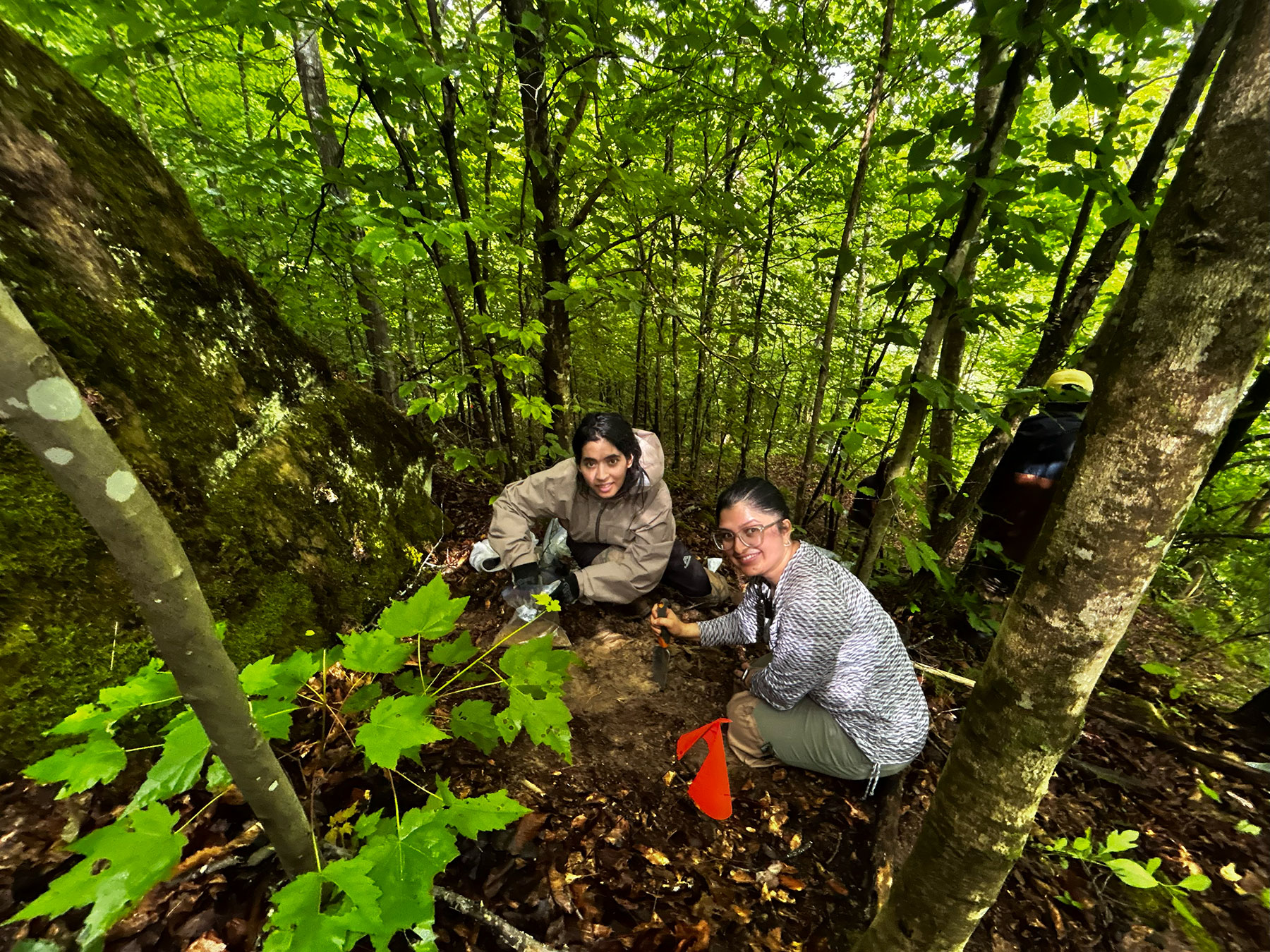
The coal mined region of Eastern Kentucky gives us clear story of both natural beauty and human impact. This summer ( July 5 to July 10, 2026) my research team and I went to reclaimed lands and nearby forest sites to sample soil and to understand how soil recover after mining. It was challenging to collect soil samples from reclaimed mine sites and undisturbed forests to compare their physical and chemical properties. During the field campaign we used ArcGIS Survey123. It is a digital data collection tool to efficiently and effectively record field observations. The survey captured the GPS coordinates of each soil sampling location and gave accurate geospatial records. I created questions for surveyors to document important site characteristics such as soil texture, vegetation type, land use, and so on. Survey123 is useful in improving data accuracy, standardized data collection across all sampling sites, and improved the integration of field data with GIS for further spatial analysis. In addition to soil sampling, we measured water infiltration using a double ring infiltrometer from the mining sites and collected bulk density. This work helps to evaluate how easily water moves through the soil and the compaction the soil has become respectively. These measurements are important in the sense that there was no infiltrometer reading previously on this site. Similarly, after analysis it will give the result of important indicators of soil properties, find the effectiveness of land reclamation and its potential to support vegetation, improve water retention, and restore ecosystem functions. Each point and each sampling location is a medium to show the landscape recovery. I feel combining both field observations with laboratory analyses and my research helps to generate data that can guide future reclamation efforts and promote sustainable land management across Appalachia. I am excited to continue this work and share findings that will help improve the resilience of reclaimed landscapes for future generations.
News Article
From the Field: Understanding Soil Recovery in Eastern Kentucky
August 11, 2026