FRANKFORT, Ky. (Dec. 8, 2025) — From live drone demonstrations to hands-on mapping challenges, more
than 120 Kentucky high school and college students discovered how geography powers
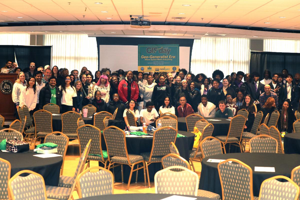
modern life during Kentucky State University’s 11th annual Geographic Information
Systems (GIS) Day on Nov. 19. The event, themed “Geo-Generalist Era: Where Spatial
Meets Everything,” highlighted Kentucky State’s leadership in geospatial education,
workforce development and community engagement.
“GIS at Kentucky State University is not just about maps; it is about empowering communities
with data, technology and innovation,” said Dr. Buddhi R. Gyawali, professor of geospatial
technology application. “This day reminds us how spatial thinking connects agriculture,
energy, environment and equity.”
Participants included undergraduate and graduate students as well as high school students
from Carter G. Woodson Academy, Eminence High School and Grace James Academy of Excellence.
Representatives from the Offices of Student Affairs, Financial Aid and Admissions
introduced academic programs, scholarships and dual-credit opportunities — including
the GI Science and Technology dual-credit course — designed to help students begin
their college and STEM journeys while still in high school.
Kentucky State President Dr. Koffi Akakpo, Provost Dr. Michael Dailey and Dr. Marcus
Bernard, dean of the College of Agriculture, Health, and Natural Resources, offered
greetings and underscored the university’s commitment to expanding geospatial learning.
Bernard highlighted Kentucky State’s growing curriculum, dual-credit partnerships
and STEM career pipelines that prepare students to solve real-world challenges in
Kentucky and beyond.
The 2025 celebration was led by staff and students in the Center for Geospatial Intelligence
and Environmental Security.
Research associates Kabita Paudel, Samuel Oshikoya and Dipesh Oli coordinated the
program with graduate assistants Ayobami Akinleye, Utkarsha Basnet, Asmita Satyal,
Amos Akwemoh and Shristi Adhikari, supported by volunteers from ENV 508: Introduction
to Geographic Information Systems. Their collective efforts created a seamless day
of learning, networking and discovery.
Throughout the event, participants engaged in hands-on GIS demonstrations that showed
how spatial data informs decision-making in agriculture, environmental management
and community planning. UAS–drone technology applications led by Jeremy Sandifer and
the Seiler Instruments team illustrated how drones collect geospatial data in the
field.
Students also enjoyed geocaching activities and three rounds of GIS trivia, with winners
receiving Kentucky State merchandise and gift items. A poster competition showcased
graduate student research on environmental monitoring, sustainable land use, climate
resilience and other topics that connect geospatial tools to real-world problems.
The keynote address was delivered by Dr. Forrest Stevens, associate professor in the
Department of Geographic and Environmental Sciences at the University of Louisville.
He offered an engaging overview of GIS and its rapidly expanding uses in agriculture,
environmental stewardship and public service.
The event also welcomed former Kentucky Association of Mapping Professionals president
Charles Altendorf and current KAMP president Dr. Demetrio P. Zourarakis, who introduced
KAMP’s mission to mentor emerging geospatial scientists and connect students to professional
networks across the commonwealth.
Post-event surveys from participating high school students reflected strong enthusiasm
for the technology and its applications. Many students indicated that the event was
their first exposure to drones and GIS.
“I learned how drones track animal movements and support farming — I never knew technology
worked this way,” one student wrote.
Another added, “The drone demo helped me understand why certification is needed and
how drones collect important data.”
Students also reported a broader appreciation for the role of spatial thinking in
everyday life. “I didn’t realize GIS connects to everything — even Google Maps. There’s
more to it than I imagined,” one participant shared.
Several students noted that engaging directly with presenters opened their eyes to
STEM careers they had not previously considered.
Dr. Gyawali closed the program by recognizing sponsors whose support has sustained
GIS Day at Kentucky State University. “The future of our state and nation depends
on spatial thinkers,” he said. “Kentucky State is proud to train the next generation
of geo-leaders.”
Kentucky State University has celebrated GIS Day since 2015, with support from the
National Science Foundation, the U.S. Department of Agriculture, the U.S. Department
of Energy and the Kentucky State University Land Grant Program. With strong faculty
mentorship, engaged students and an expanding geospatial technology toolkit, the university
continues to demonstrate that GIS is a powerful engine for community transformation
and academic excellence.
For more information about geospatial programs, research and Geospatial Technology
Certificate programs at Kentucky State University, please contact Dr. Buddhi R. Gyawali
at Buddhi.gyawali@kysu.edu