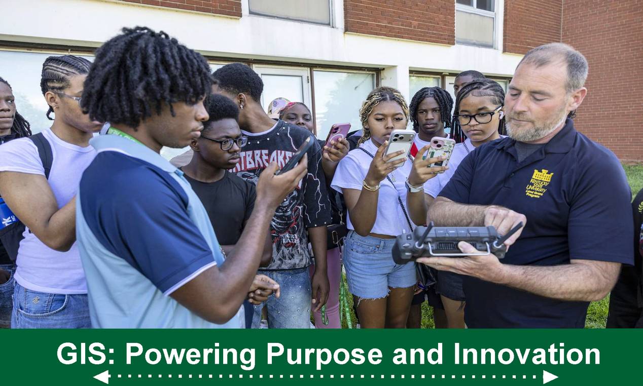
Annual celebration at Kentucky State University will connect high school and college students with geospatial professionals Nov. 18
A fascination with drones can lead beyond the flight itself — to careers using images and location data to understand land, water, and communities. Students can explore those possibilities Nov. 18, when Kentucky State University hosts its annual GIS Day.
Beginning at 9:30 a.m. in the fourth-floor Student Center Ballroom, the event will feature career presentations, drone demonstrations, student research posters, and GIS trivia. This year’s theme is “Powering Purpose and Innovation.”
Lunch will be provided. Participants are encouraged to register in advance to help organizers plan for meals.
Geographic information systems, or GIS, connect information to locations, helping users identify patterns and make decisions. At Kentucky State, geospatial research includes monitoring soil and water quality, studying vegetation recovery, and assessing changes in landscapes.
Hosted by the Center for Geospatial Intelligence and Environmental Security in the College of Agriculture, Health, and Natural Resources, GIS Day will give high school and college students opportunities to meet professionals who use these tools and learn how to enter the field.
“We want students to see a place for themselves in this work,” said Dr. Buddhi Gyawali, professor of geospatial applications, human dimensions, and climate studies. “Meeting people who use GIS every day and seeing the technology in action can help students connect their own interests with a college program and a career.”
Dr. David Padgett, associate professor of geography at Tennessee State University, will deliver the keynote address at 10 a.m., exploring emerging GIS jobs and future career prospects.
Additional speakers will connect those possibilities to professional experience. Daren Jones, a GIS analyst with the Kentucky Department of Fish and Wildlife Resources, will discuss GIS careers and opportunities through the Kentucky Association of Mapping Professionals. Charles Altendorf, a senior GIS specialist at Kentucky American Water and adjunct instructor in geography at the University of Cincinnati, will share his career story.
Drones will be a focus throughout the day. Representatives from Seiler Instrument & Mfg. Co. will introduce drone applications, followed by Jeremy Sandifer, Kentucky State’s state specialist in agricultural technology for small farms, who will discuss their use in research and education, certification, and opportunities for high schools. An afternoon drone demonstration is scheduled for 1:15 p.m.
Students will also have opportunities to share their own work. A poster session for high school students is scheduled before lunch, followed by Kentucky State students presenting their posters in the afternoon. GIS trivia, poster awards, and a raffle will round out the program.
For prospective students, the day will also include information about Kentucky State’s academic programs, admissions, financial aid, scholarships, and dual-credit opportunities, connecting career exploration with practical steps toward college.
Kentucky State has celebrated GIS Day since 2015. Last year’s event drew more than 120 high school and college students.
For more information, contact Dr. Gyawali at buddhi.gyawali@kysu.edu.